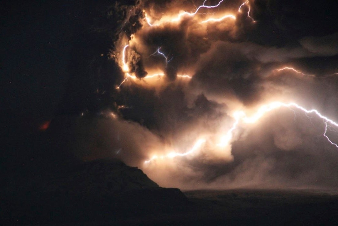
A volcano has erupted after a 7.0 magnitude earthquake off the east coast of Russia’s Kamchatka peninsula, putting aircraft on alert.
The quake, which occurred at 7.10am local time (8.10pm on Saturday in the UK), struck at a depth of 18 miles and caused “severe shaking” to buildings in the city of Petropavlovsk-Kamchatsky.
It happened near a major naval base but there were no early reports of damage or injuries. The quake prompted a tsunami warning that was later lifted.
Russian scientists have warned that tremors in the area may be a prelude to an even stronger earthquake. The Institute of Volcanology said a potential second quake could come “within 24 hours” with a magnitude approaching 9.0.
In an update from the US Geological Survey (USGS), they said the earthquake occurred as “the result of reverse faulting”, with the region being familiar with moderate to large tremors.
Dramatic footage shows thick ash exploding from the Shiveluch volcano, with the plume extending about 930 miles (1,500km) to the east-south-east.
According to the Kamchatka Volcanic Eruption Response Team (KVERT), aircraft have been issued a “red” code warning due to the significant amount of ash in the atmosphere.
The Volcanic Ash Advisory Center (VAAC) in Tokyo has warned that “explosive activity” is continuing.

A statement from the USGS read: “At the location of this earthquake, the Pacific place is moving west-northwest with respect to the North America and Eurasia plates.
“Some authors divide this region into several microplates that together define the relative motions between the larger Pacific, North America, and Eurasia plates; in this depiction, the Kamchatka Peninsula is located on the Okhotsk microplate, which is part of the North America plate.”
The US National Weather Service’s Pacific Tsunami Warning Center in Honolulu initially warned that hazardous tsunami waves were possible for coasts within 300 miles (480 kilometers) of the earthquake epicenter, but later announced the threat had ended.
Catastrophic eruptions have previously taken place in 1854 and 1964, when a large part of the lava dome collapsed and created a devastating debris avalanche

