A new ice warning has been issued after heavy snow sparked chaos on Tuesday, with widespread travel disruption and more than 200 schools forced to close.
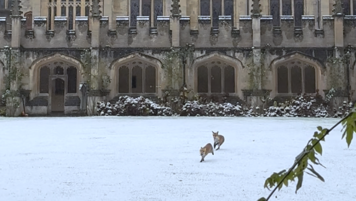
Snow fell across large swathes of the country on Monday night and Tuesday morning, including London, Wales, Scotland and the Midlands.
The “first taste of winter” caused mass disruption as by Tuesday afternoon, more than 200 school closures had been reported, with around 140 recorded in Wales.
Thousands of train passengers also suffered disruption due to the weather on Tuesday morning. By 11am on Tuesday, some 64 out of a total of 120 services planned by East Midlands Railway were cancelled or delayed by at least half an hour, according to the trains.im punctuality and reliability website.
As the week goes on, Britons have been told to brace for more of this weather, with the Met Office issuing further warnings for ice for much of southern England, the Midlands and eastern Wales from 5pm on Tuesday to 10am on Wednesday.

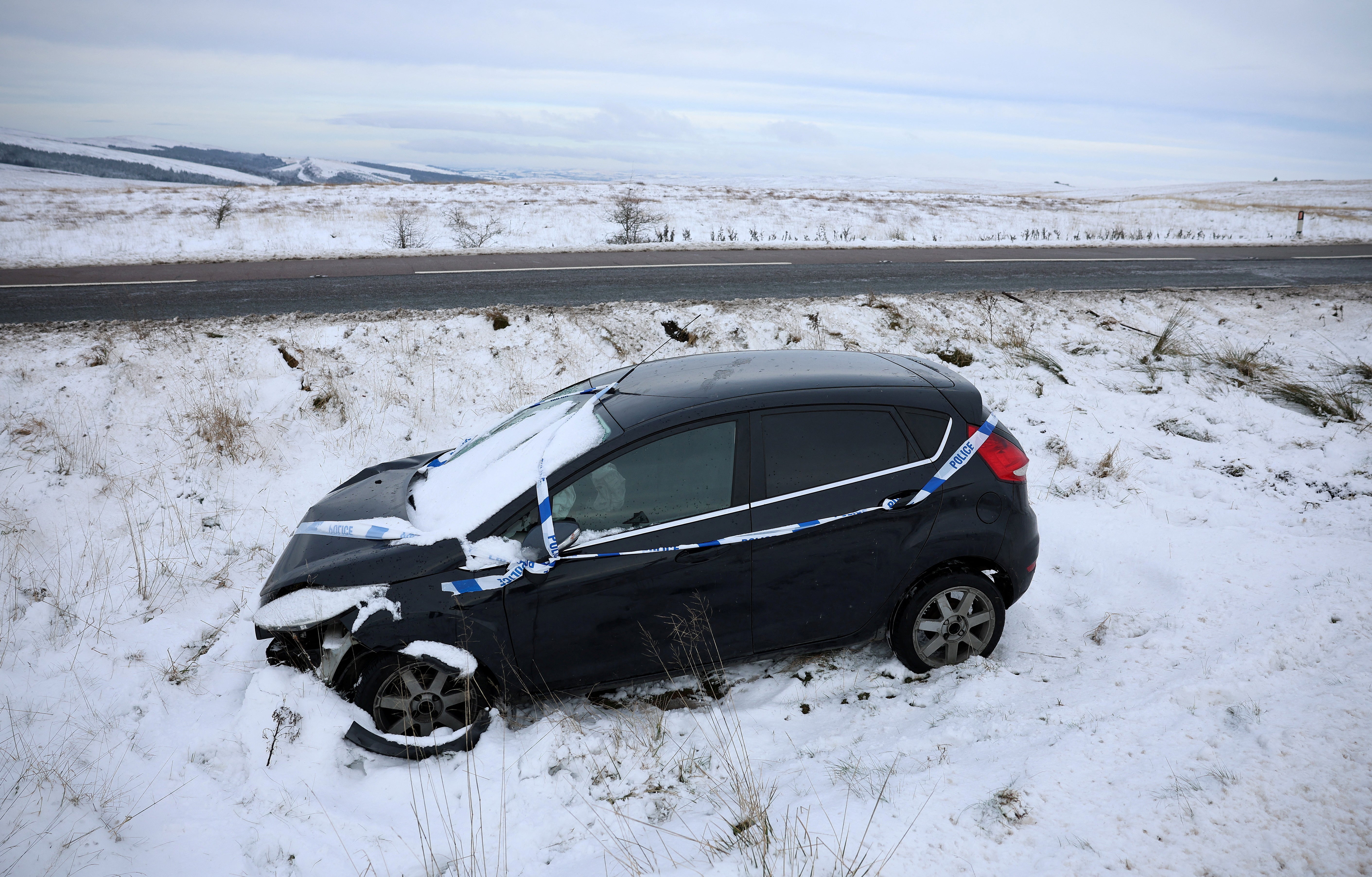
Several other warnings for snow and ice are in force across the UK, with the forecasters advising that vehicles could be stranded, power cuts may occur and rural areas could be cut off.
Monday night saw sub-zero temperatures for much of the UK, reaching as low as -11.2C at Braemar in Aberdeenshire.
Met Office spokesman Stephen Dixon said temperatures could drop to -12C in rural parts of Scotland and -7C in rural parts of Wales on Wednesday night.
Mr Dixon told the PA news agency: “We’ve had a fairly mild November so far. So it’ll feel like that first taste of winter for many with that snow and ice risk layered on top.”

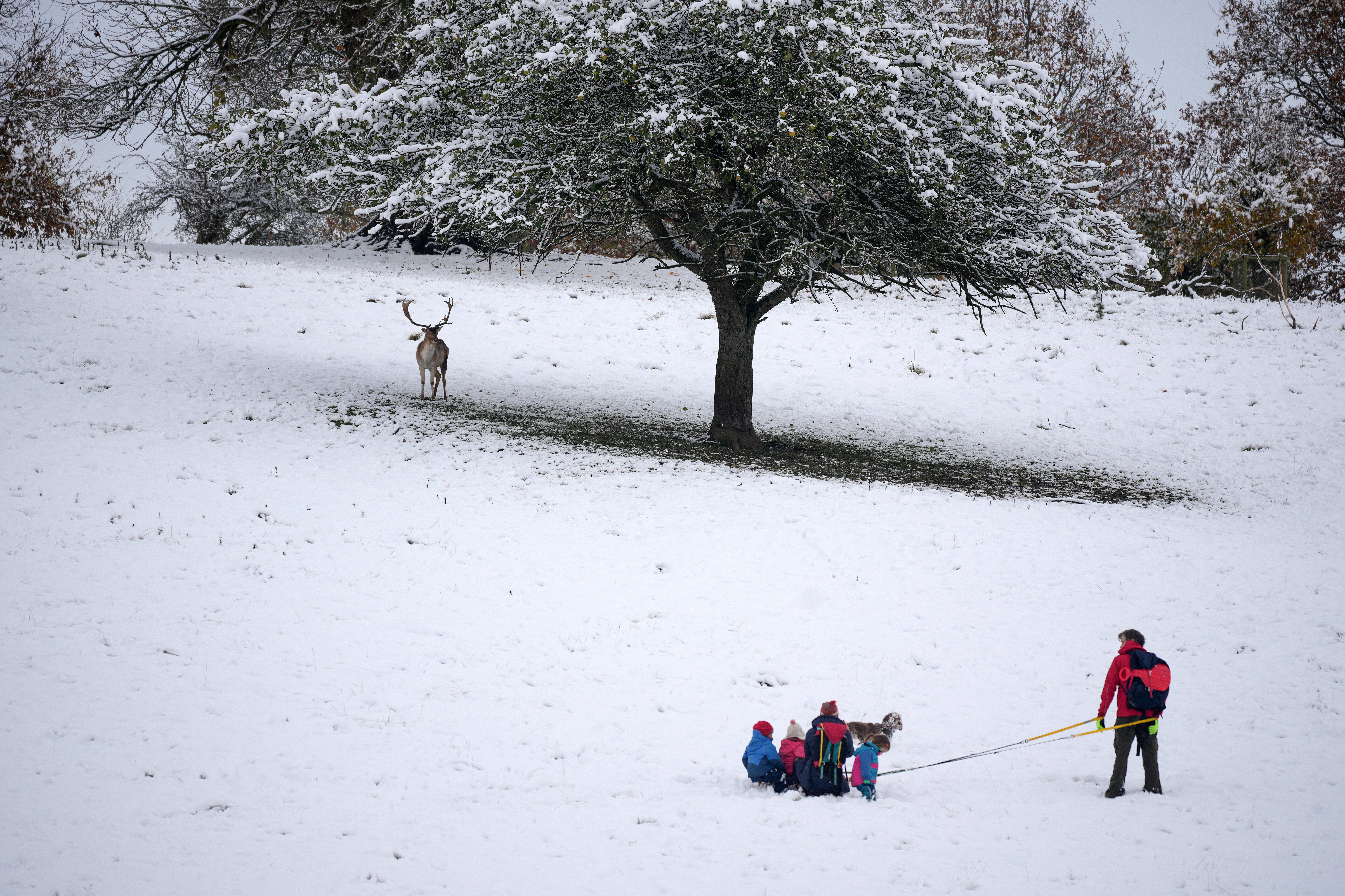
He added: “The highest accumulations are likely over the mountains in Scotland, where over higher ground you could see around 20cm of snow through this week accumulating on the ground.
“They are not necessarily the most disruptive snowfalls, but it only takes a couple of centimetres on lower ground to cause some level of travel disruption.”
The Met Office said cold northerly winds will continue through the week across much of the UK, with further warnings likely.
It added that temperatures were likely to increase from the south-west this weekend, though this will be accompanied by some strong winds and heavy rain.
As of Tuesday evening, there is a yellow warning for snow and ice in place along the east coast of Scotland and England from 6pm on Tuesday to midday on Wednesday.

The same warning has also been issued in Northern Ireland from 6pm on Tuesday to 10am on Wednesday.
There are also snow and ice warnings in place covering the north of Scotland until 10am on Wednesday and much of central and South Wales until 11.59pm on Tuesday. A separate snow and ice warning for much of central and north Wales is in place from midnight until midday on Wednesday.
The UK Health Security Agency (UKHSA) has issued the first amber cold weather health alert of the season, warning conditions could be dangerous for vulnerable people, including the elderly.
The amber warning covers the east and north of England, the Midlands, and Yorkshire and the Humber, with yellow alerts coming into place for the South East, South West and London until 6pm on Saturday.

