Fresh weather warnings have been issued as wintry conditions are causing travel disruption and school closures.
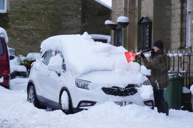
Yellow warnings for snow and ice come into force across large parts of the UK on Monday afternoon, and will remain in place into Tuesday.
Many commuters suffered travel disruption on Monday morning, with major roads closed and railway lines blocked.
Manchester Airport’s runways were closed early on Monday morning because of heavy snow but later reopened.
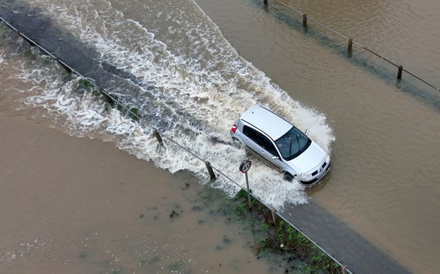
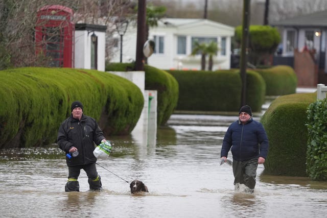
At 1pm, the Environment Agency had 165 flood warnings, meaning flooding is expected, and 321 flood alerts, meaning flooding is possible, active across England.
At the same time, National Resources Wales had two flood warnings and 20 flood alerts in place.
Tens of thousands of journeys on the M25 in Surrey have been delayed as the motorway is closed in the anti-clockwise direction from junction 10 for the A3 to junction eight for Reigate after a lorry crashed into the central reservation and came to a rest sideways across the carriageway.
This is affecting many people travelling to Gatwick airport.
The closure is expected to remain in place until at least 3pm while the road is resurfaced.
Several stretches of A-roads across England are also closed because of severe weather.
These include the A66 in Cumbria in both directions between the A1M and the M6 because of snow, and the A628 Woodhead Pass in South Yorkshire/Derbyshire in both directions between the A616 for Flouch and the A57 for Hollingworth because of flooding.
The A46 in Warwickshire is also closed in both directions between the A452 for Kenilworth and the M40 (junction 15) because of a crash.

National Highways said “a car is reported to have aquaplaned due to flooding in the area”.
Aquaplaning is when a driver loses control because a layer of water prevents their tyres from gripping the road.
Severe weather is also causing widespread disruption on the railway network.
Flooding has forced the closure of all railway lines between Derby and both Nottingham and East Midlands Parkway.
This is affecting CrossCountry and East Midlands Railway services.
The operators are also disrupted by flooding closing all lines between Peterborough and Leicester.

Great Western Railway said its trains between Bristol Parkway and Gloucester were running at a reduced speed because of “heavy rain flooding the railway”.
TransPennine Express said severe weather was causing the same issue for its services between Barnetby and Scunthorpe in Lincolnshire.
Flooding means Transport for Wales services between Manchester and North Wales are only able to operate between Warrington Bank Quay and Manchester.
Manchester Airport said at 7.15am that its two runways had reopened, after reporting at 6.30am that they were closed because of “heavy snow”.
Three departures for Monday have been cancelled and a number of other flights were delayed.
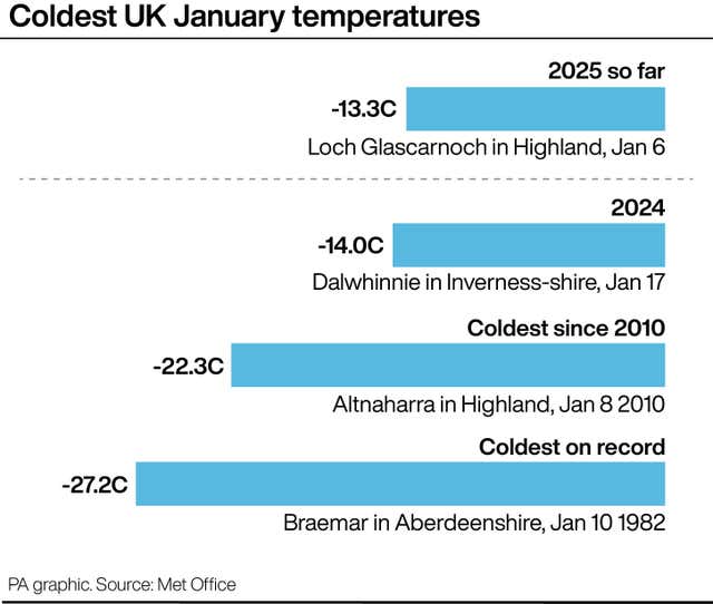
Sunday night was the UK’s coldest of the winter so far, with a temperature of minus 13.3C recorded in Loch Glascarnoch in the Highlands, between Ullapool and Inverness.

Hundreds of schools were closed on Monday, in areas including Lancashire, Yorkshire and north-east Scotland.
The Met Office advised to people to be “prepared” for snow.
A warning for snow and ice is in place across most of south-west England and Wales, and parts of north-west England and the West Midlands, for between 5pm on Monday until 10am on Tuesday.
The same warning is in place for western and northern parts of Scotland for between 4pm on Monday until midday on Tuesday, and in Northern Ireland between 3pm on Monday until 11am on Tuesday.
There is a separate warning for snow in southern England on Wednesday from 9am until 11.59pm.
Met Office chief meteorologist Frank Saunders said: “Hail, sleet or snow showers are expected to affect parts of Scotland and Northern Ireland, spreading to Wales and parts of north-west England this evening, before moving into part of south-west England, the Midlands and southern England during the early hours of Tuesday.

“Rain or hail is more likely towards some western coasts.
“Icy stretches which develop overnight as a result of these showers, or the recent wet conditions, could bring some disruption to travel.
“In addition to the ice, we could see snow accumulations of a few centimetres above 200 metres, with a chance of greater than 5cm above 200 metres in Wales.
“The heaviest snow showers may also produce temporary accumulations of 0-2cm at low levels.
“It is not possible to say exactly where this snow might fall, so it’s important that people are prepared.”

