The Met Office has warned Brits to prepare for a weekend of rain, wind and snow as Storm Bert sweeps the country.
Weather warnings are in place every day until Sunday – including seven on Saturday – as the country braces for more wintry weather after temperatures plummeted earlier in the week.
The majority of the UK will be facing at least one weather warning in the days to come, with Scotland and northern England expected to be the worst affected.
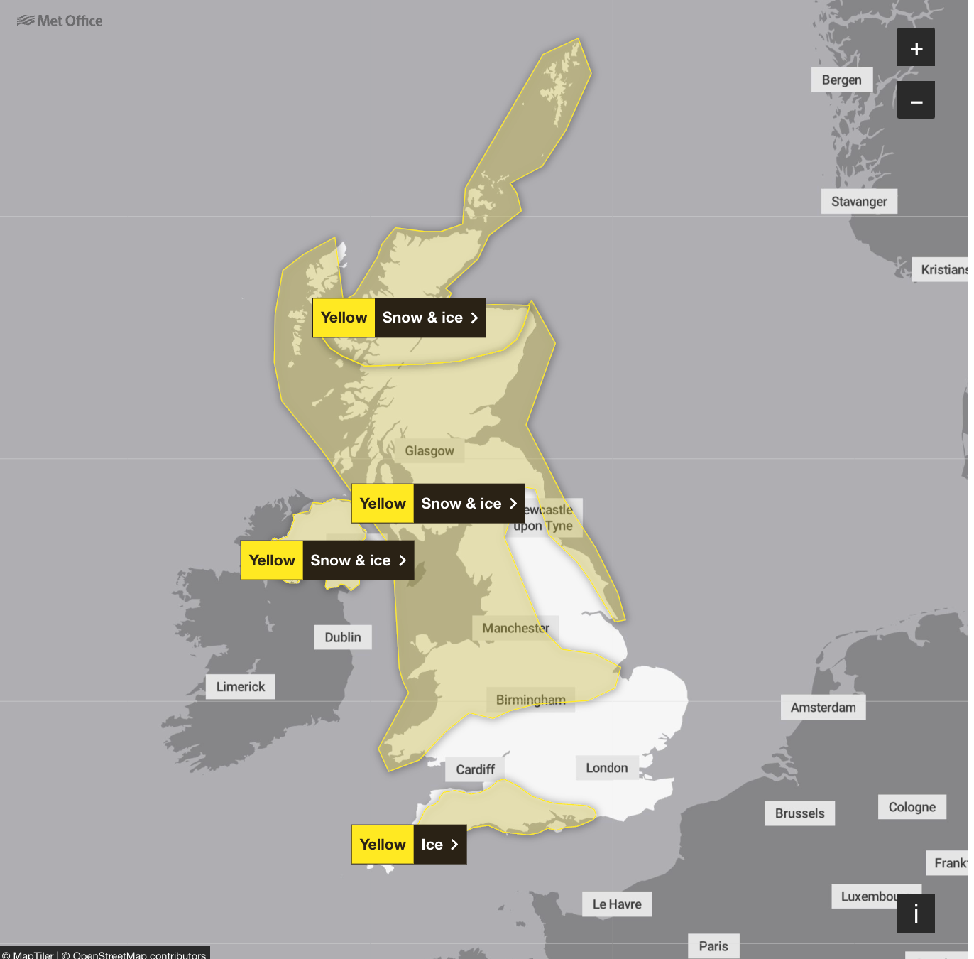
A yellow warning of snow and ice for much of Scotland, northern England and parts of western and eastern England and Wales is in force between midday on Thursday and 10am on Friday.
A further snow and ice warning is in place at the same time for Wales, an ice warning for south-west England and another for northern Scotland until midday on Friday.
These yellow warnings warn that residents will face disruption to their journeys with some roads and railways likely to be affected and a slight chance that some rural communities could become cut off.

On Saturday morning, more warnings will come into place as Storm Bert makes its way across the UK.
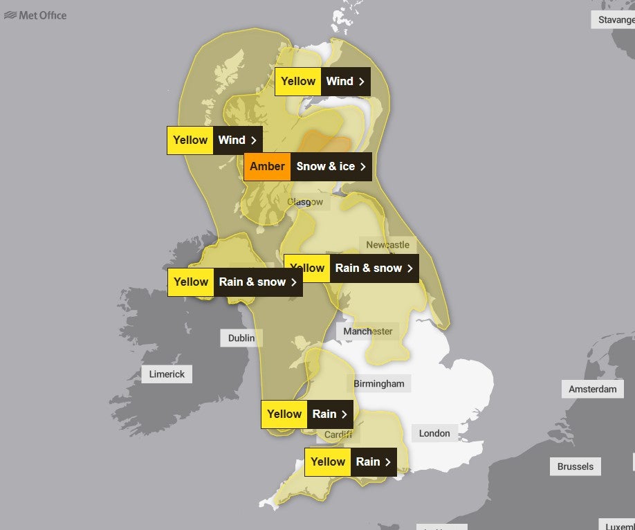
An amber alert for heavy snow and ice will be in force between 7am and 5pm on Saturday in an area north of Scotland’s central belt, where 10-20cm is likely on ground above 200 metres and potentially as much as 20-40cm on hills above 400 metres.

Forecasters said power cuts and travel disruption are likely and there is a good chance some rural communities could become cut off.
A yellow weather warning for snow and rain in place from Saturday morning to Sunday morning also warns residents in much of Scotland, north-east and north-west England, the West Midlands and Yorkshire that there could be a danger to life as snow quickly thaws to rain.

There are also warnings for rain in south-west England and Wales, where in excess of 100mm of rain is expected to fall on higher ground.
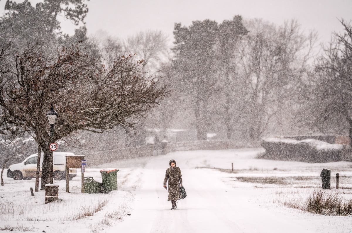
“Storm Bert marks a shift to much milder air and wintry hazards will gradually diminish through the weekend, but heavy snowfall is expected across parts of northern England and Scotland for a time on Saturday, especially over higher ground, and warnings are in place,” Met Office deputy chief meteorologist Dan Holley said.
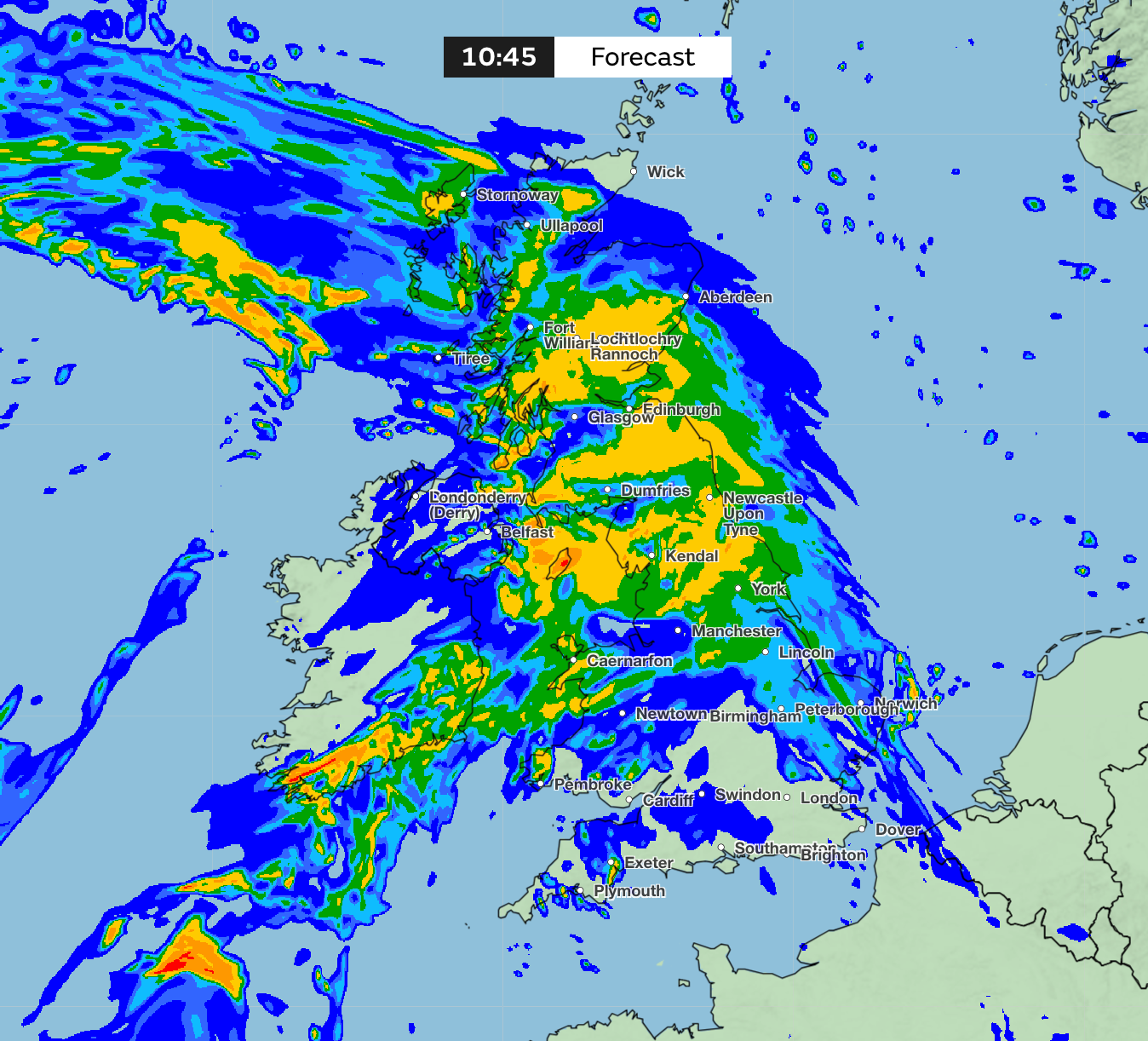
“Heavy rain through Saturday and Sunday, especially in southern and western parts of the UK, will also bring impacts for some with a number of warnings in place.”
He added: “In addition, rapid melting of lying snow over the weekend and periods of strong winds are likely to exacerbate impacts and bring the potential for travel disruption, as well as flooding for some.”
Unsettled weather is likely to continue into the start of next week, with strong winds and some showers for many parts. Although temperatures will be around average for most places, strong winds mean it will feel rather cold.
Looking further ahead, there are indications we could see a brief return to colder conditions with wintry showers for a time, especially in the north, before it becomes unsettled and milder again at the end of next week.

