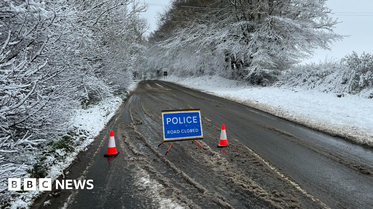
The snow warning starts at noon on Saturday until 09:00 GMT on Monday and covers all regions of England apart from the South West, the majority of Wales and parts of southern Scotland.
About 5cm of snow is expected across the Midlands, Wales and northern England over the weekend, with as much as 20-30cm over high ground in Wales and the Pennines. With strong winds, some drifting may also be possible.
Parts of Scotland and Northern Ireland may also see some disruptive snow. In southern England any snow is likely to turn back to rain as milder air temporarily arrives.
Temperatures will begin to fall overnight on Wednesday, with parts of the country warned to expect icy conditions on Thursday morning and some snow expected in Scotland.
It will feel increasingly bitter as the Arctic air reaches all areas of the UK by Thursday, with a mix of sunny spells and wintry showers, paving the way for widespread snowfall across the weekend.
BBC Weather lead presenter Ben Rich warned that snow is notoriously hard to forecast, and the warning will likely be modified closer to the time as confidence in in the data behind it grows.
“With just a small change in temperature or the track of the low pressure can mean an area gets rain or sleet instead of snow,” he said.

