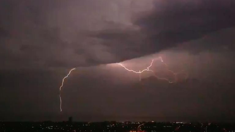
A thunderstorm warning has been issued by the Met Office for parts of England and Wales today.
The yellow weather warning is in place from 1pm until 8pm on Saturday, with sudden flooding and disruption expected in places, as well as difficult driving conditions.
It covers a large part of Wales and southwest England.
Slow-moving heavy showers and thunderstorms are likely to develop this afternoon and there’s a chance some communities could be temporarily cut off by flooded roads.
Some areas could see up to 30 mm of rainfall in just an hour or two. In a small number of areas, up to 50 mm could fall.
Showers and thunderstorms will gradually fade during Saturday evening.
See the latest weather forecast where you are
The Met Office is advising people to consider whether their location is at risk of flash flooding.
“If so, consider preparing a flood plan and an emergency flood kit,” the weather service warns.
It suggests that before winds arrive, make sure moveable objects such as bins, garden furniture, trampolines, tents, gazebos, sheds and fences are well secured.
If you are travelling in areas covered by the warning, check the road conditions and amend your travel plans if necessary, the Met Office adds.
People should also prepare for power cuts.
“Consider gathering torches and batteries, a mobile phone power pack and other essential items,” says the Met Office.
Last Saturday was confirmed as the hottest day of the year so far but was immediately followed by dramatic thunderstorms just one day later.
Large parts of southern England, as well as parts of South Wales, were also hit by thunderstorms and heavy rain overnight on 2 May, with impressive lightning storms lighting up the skies.


